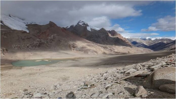
China is constructing a road in an area of illegally occupied Kashmir near the Siachen Glacier, which is referred to be the world’s highest battleground, according to satellite images. This development could have security ramifications for India.
The road in Shaksgam Valley, which was part of Pakistan-occupied Kashmir (PoK), which was given to China in 1963, splits off from Highway G219’s extension in China’s Xinjiang and vanishes into the mountains at a location (coordinate: 36.114783°, 76.671051°) about 50 km north of Indira Col in Siachen Glacier, which is India’s northernmost point. Rajnath, the minister of defence, has visited the area twice since March.
According to satellite photographs obtained by the Open-Source Intelligence (OSINT) team of the European Space Agency, the road’s basic path was created between June and August of last year.
“This road is totally illegal and India must register its diplomatic protest with the Chinese,” says Lt Gen Rakesh Sharma, the former commander of Indian Army’s Fire and Fury Corps that is responsible for manning Kargil, Siachin Glacier, and Eastern Ladakh.
The construction was first flagged by an observer of the Indo-Tibetan frontier who calls himself ‘Nature Desai’ on X (formerly Twitter).
The route is located in the Trans-Karakoram Tract, an area that India claims was once a part of Kashmir. The area is still depicted as Indian territory on the most recent official map released by the Union government following the repeal of Article 370.
The tract, which covers roughly 5,300 square kilometres, was taken over by China as part of their bilateral boundary agreement made in 1963; India does not accept this agreement. Pakistan had captured the tract during the 1947 war and given it to China.
Defence experts in India have long maintained that any alteration to the current situation in this area of occupied Kashmir would be a breach of India’s territorial integrity and sovereignty. There are worries that more infrastructure projects of this kind would jeopardise the security situation that currently exists in this hilly area.
Reports of increased military cooperation in the area are another factor contributing to India’s concerns. Plans for a new road connecting Muzaffarabad to Mustagh Pass, which is located on Pakistan’s border with Shaksgam Valley, were revealed in 2021 by the Gilgit-Baltistan region of Pakistan. The report states that it will be connected to Yarkand in Xinjiang, suggesting that the road may cross the Shaksgam Valley and join China’s national highway G219.
However, a lot of experts, like Lt Gen Sharma, think that the Chinese roads in Shaksgam Valley might be mainly used to move minerals, particularly uranium, which is supposedly produced in Gilgit Baltistan, to Xinjiang. However, he cautions against the possibility that the armies of China and Pakistan may use these routes for “military manoeuvres.”
The route enters the disputed area at Aghil Pass, which has historically marked the boundary between Tibet and Kashmir. Chinese rulers had previously acknowledged this.
Throughout boundary negotiations with China prior to the 1962 conflict, the Indian side often cited the Shaksgam Valley and Aghil Pass to bolster its claim.
The Indian side, led by the then-MEA director for China affairs, JS Mehta, informed China’s foreign office in Beijing in June 1960 that “the official maps of the Government of India, including the one attached to the 1907 edition of the Imperial Gazetteer of India and the political maps published by the Survey of India showed this area in Indian territory.”
“Official Chinese maps published in 1917, 1919, and 1923 also showed this area as a part of India,” reads the archive of the Ministry of External Affairs uploaded on the website of renowned tibetologist Claude Arpi.
In parliament, the government has repeatedly reiterated India’s commitment to take back all areas of Pakistan-occupied-Kashmir (PoK), which India considers Shaksgam Valley a part of.
“I want to put this on record that whenever I say the state of Jammu & Kashmir in the House, then both PoK and Aksai Chin are part of it. The boundaries of Jammu and Kashmir decided in our Constitution, and also in the Constitution of Jammu and Kashmir, include PoK and Aksai Chin,” Home Minister Amit Shah told parliamentarians in 2019. “I am ready to give my life for this,” he had roared.
The Chinse colonisation of the region lacks political legitimacy even after decades of dominance. China is only granted temporary jurisdiction over the region by Article 6 of the 1963 Boundary Agreement between China and Pakistan, which is valid until the Kashmir dispute is settled.
“The two Parties have agreed that after the settlement of the Kashmir dispute between Pakistan and India, the sovereign authority concerned will reopen negotiations with the Government of the People’s Republic of China, on the boundary’s so as to sign a formal Boundary Treaty to replace the present agreement,” it reads.
Although the 1972 Shimla Agreement governs India’s relations with Pakistan on the Line of Control (LoC), no equivalent agreement exists with Chinese authorities for the Shaksgam Valley.
Between 2017 and 2018, China constructed a metalized road in the lower Shaksgam Valley, to the west of the vital Karakoram Pass. There are also reports of Chinese military facilities in the Valley, which Indian military authorities allegedly objected to during border negotiations in 2022 that followed the devastating confrontations in the Galwan Valley in 2020.
India also strongly protested to Beijing last year for designating the Aksai Chin plateau as its formal territory. Dr. S. Jaishankar, the minister of external affairs, stated in 2015 that Pakistan has objected to China’s plans to invest $46 billion in an economic corridor between the two countries.


